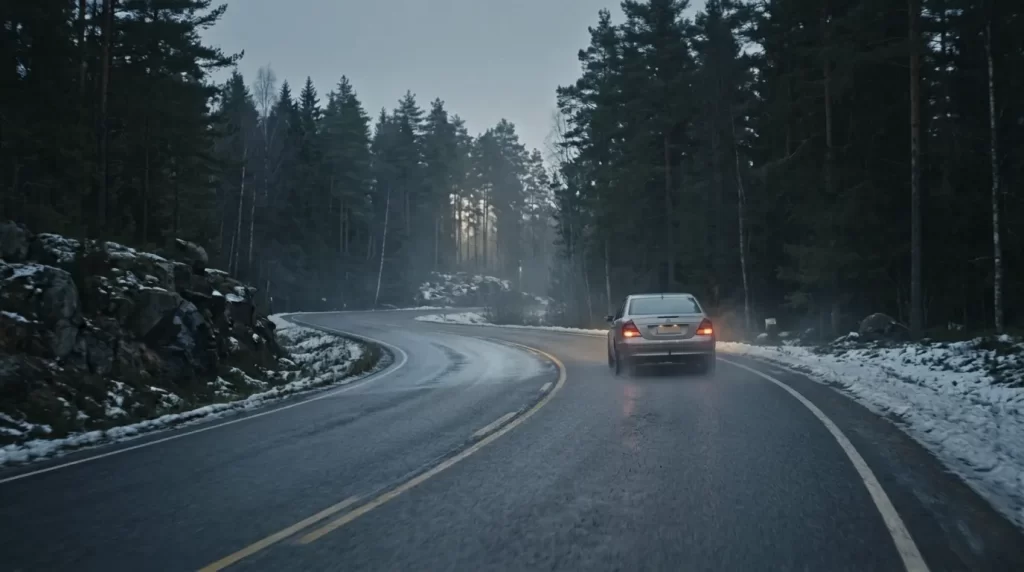
The Problem: A Road That Looks Dry or Moist but Is Icy
Black ice is a serious winter road safety threat. The road looks like dry or moist asphalt, and road users have no reason to slow down.
Black ice can form when the road surface temperature drops below the dew point on a dry surface or freezing point on a wet surface — often rapidly, especially on bridges, shaded sections, and open stretches after forest clearings. Black ice may form in minutes, and to prevent accidents, maintenance crews need to reach the site quickly.
Black ice is, however, entirely predictable — if the right measurement data is available.
Why Conventional Methods Fall Short
Visual inspection is always too late
By the time a maintenance crew or driver spots a slippery surface, the ice has already formed. Visual assessment cannot anticipate — it can only confirm the situation after the fact.
Weather forecasts don't reflect road surface reality
Temperature forecasts from national or international weather services describe air temperature at measurement height. The road surface behaves differently: it loses heat often faster than the air, and 2°C in the air can mean −4°C on the road surface. The gap between the forecast and what is actually happening on the pavement is exactly where accidents occur.
Fixed de-icing schedules don't catch the icing window
Applying salt on a fixed schedule does not account for the fact that icing may occur at an entirely different time. When the schedule misses the moment, the whole anti-skid logic fails.
Real-Time Data Helps Anticipate
Surface temperature and dew point sensors
Teconer’s RWS11 road weather station continuously measures road surface temperature and dew point temperature. As the dew point approaches the surface temperature, the icing risk becomes real. This gap is calculable and trackable — and it gives maintenance teams advance warning.
Teconer’s RTD411SA surface sensor can also be installed on vehicles as a standalone unit with a Bluetooth-connected mobile app, giving maintenance personnel a continuous view of risk points along their route.
Optical surface condition measuremen
Teconer’s stationary RWS and mobile RCM sensors use infrared optical technology to detect what is actually on the road: whether the surface is dry, wet, icy, or snow-covered. The sensor emits infrared light toward the surface and analyses the attenuation of the reflected signal. Water and ice attenuate the signal in different ways. The result is not an estimate — it is a direct optical measurement.
Data delivered in real time to the right systems
All measurement data — from both fixed road weather stations and mobile RCM sensors — is available in real time through the roadweather.online map service and can be integrated directly into existing road management and maintenance systems via API.
What This Means for Operations
With surface temperature, dew point, and optical condition data available in real time, maintenance teams can:
— Schedule de-icing treatments to start precisely when surface conditions approach the icing threshold, not on a fixed clock.
— Prioritise routes where conditions are most dangerous, rather than treating all roads equally.
— Reduce unnecessary salt use on roads that show no risk, cutting costs and environmental impact.
— Send advance warnings to traffic management systems and road users in areas where conditions will deteriorate.